Clean air paths

Resources available to help you choose walking and wheeling routes around our neighbourhood.

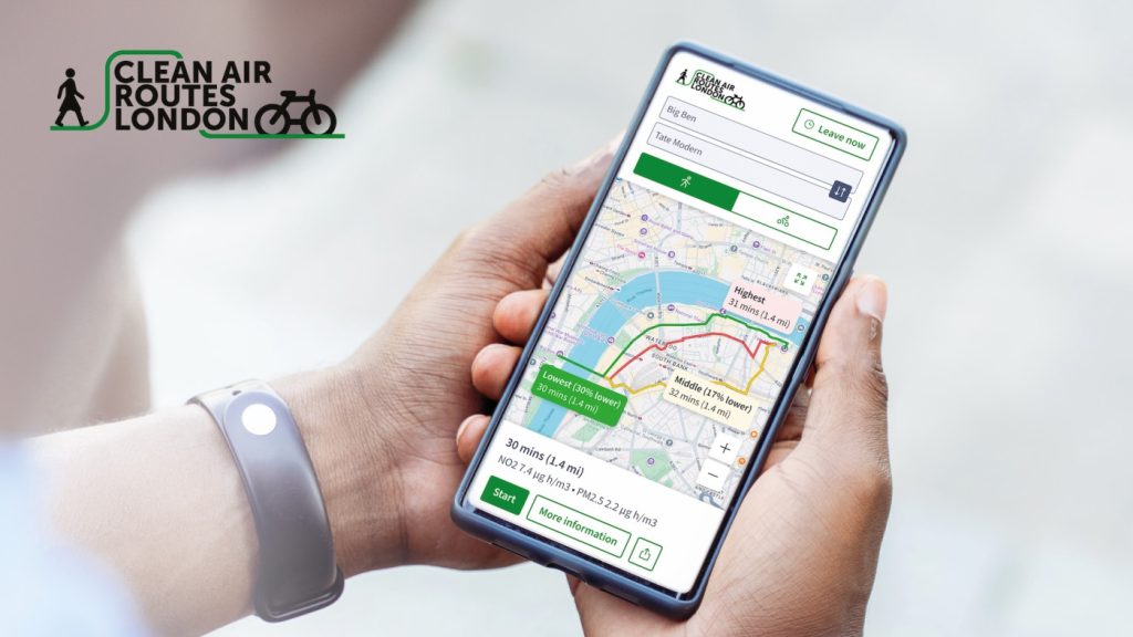
Interactive map to help you plan walking or cycling routes with the best air quality across Greater London. Users can enter start/finish points and see route options with lower pollution exposure.
cleanairroutes.org
Air Aware Lab’s AirTrack is a mobile app that helps you understand and reduce the air pollution you’re exposed to throughout your day. It combines air quality data with your location, routes, and activities to estimate your cumulative exposure and offer personalised recommendations: whether you’re commuting, exercising (with optional Strava / Apple Health / Google Health integration), working, or at home.
airawarelabs.com
Go Jauntly is a community-based walking app that helps you discover greener walking routes. It considers access to green and blue space, size of parks and street trees, and ability to avoid busy roads and areas with higher pollution levels.
gojauntly.com
Launching soon: Web app ‘Purify’ which stands for ‘Pollution Updates and Real-time Information For You’ developed in collaboration with Imperial College to offer ‘green routing’ – routes that avoid high-pollution areas for walking or wheeling.

Walk London offers self-guided sightseeing tours to give you ideas for ways to experience London on foot.
walklondon.com
The Lambeth Tour Guides are qualified guides with a programme of local walks to discover the area.
lambethtourguides.org